
Khomas Hochland Hiking Trail Namibia
The Khomas Hochland Hiking Trail has different options for hiking:100.5 km over 6 days, 54 km over 4 days, day hikes and weekend trails. Duesternbook, the guest farm where the trail starts, is only 50km or 45 minutes’ drive from Windhoek, and 90km from the international airport.
The multi day hiking trails are crossing 5 farms, namely Duesternbook, Otjiseva, Onduno, Godeis, and Monte Christo. It is scenic, but rugged trails within the beautiful the Khomas Hochland Mountain range. The unspoiled nature, with its unique trees, wildlife, and birdlife are surely making the trail worthwhile. The trail leads you on different terrain, i.e. in the riverbeds, up in gulleys, over hills, and the mountains. Be on the lookout for several markings on trees or rocks on the trail, that is quite humoristic and unique.
We did this trail in August and it was quite a dry and hot season.

Accommodation facilities on the trails consists open shelters to sleep in, water at each camp, wood, cooking utensils and braai rooster. There is a shower (donkie system), and a flushing toilet. Costs for the hike includes fresh food for dinner (raw vegetables, meat and freshly baked bread) that you have to prepare at each overnight stop, and your back pack is couriered from one overnight stop to the next. Extra cold drinks can be pre ordered every day via your hike leader with the farm owners. You carry only your daypack with snacks first aid kit and water every day.
Arrive on the farm the day before you start the hike, where accommodation is available for the group in the camp site.
Day 1 Duesternbook Safari Guest Farm to Otjiseva Campsite 16.5 km
We kicked off with the trail at the farm, followed the Otjiseva River for about 1.5 km, then we left the river and followed the markings to the main entrance gate of Duesternbook. Once we left the boundaries of Duesternbook farm, we have entered into Otjiseva Farm boundary. We have walked on the main (dirt) road for a few hundred meters, then we turned right into the veld, where the trail is indicated.

We have passed several sign boards namely “UNDER THE BIG TREES, RIVER/GAME WATCH WALK” and “GEMSBOKKOELTE” before turning into the mountains.

Near the 12 Km mark, we had lunch in the welcoming shades of the big fig tree. Since it was extremely hot, we had a few rests stops on rocks in the river bed. The path leads along some narrow kloofs with some interesting dry rocky waterfalls – one too high to climb and a path was made up a hill and around it.

We have passed some interesting signs boards during the day:” SEXY FIG TREE, THE-ROCK-UNDER-THE-ROCK, SIT-GAT-RUS-BENE”. A last but easy climb leads to the beautiful setting of the overnight stop GUSTAV POSTEN, still on the farm Otjiseva. The overnight spot was next to a to a big dam that ran dry. Remote, quiet, and in the wild.
Upon arrival, we were delighted to see that the food and our back packs have already been delivered there. But the highlight for all 12 very weary, tired hikers were the cooler box filled with the icy-cold cold drinks or beer that we have already ordered the day before. What a treat. Ablution and shower are separately built and private from the open shelter, where you can shower and change your clothes. We took turns to prepare the supper each night.


Day 2: Otjiseva to Onduno Campsite (9.8 km)
We started the next morning very early, to get the most of the shade in the riverbed. Then we reached the:” KLIPPEKOU KLIM” uphill. Indeed, you chewed rocks with this uphill as it was quite technical with the big boulders that you have to get over and up with. Then we reach the border with the farm Onduno before the “SLAGYSTERKLIP” gorge.


After the gorge, we had lunch in a shady spot, as it was quite hot. We arrived at the overnight stop early that afternoon. It was also situated next to a dam. We could spend time to have a nap or to explore the surroundings. The camp is situated below the: “LOOK UP!!BABOON MOUNTAIN”, on the bank of a small dry river in between two rocky hills with steep rocks


Day 3: Onduno to Godeis Campsite (23.1 km)
Day 3 is the longest day of the hike, and covers a distance of 23.1km. That morning, we started hiking at about 6:30 am. The trail winding up and down on hills and grassland areas, with small bush and beautiful vistas, passing:” KOELTE BOOM” and DEATH IN THE RIVER, markings.

After crossing the boundary to Godeis, we ascent the SCORPION HILL, reached ZEBRA BAD, and cross over into two valleys, taking the beautiful long valley down BIRD NEST GORGE, where we sat down in a shady spot for a break the” Middag” river bed.

We passed the” DEATH VALLEY” which was quite dry. We follow this long bigger dry riverbed, passing very high cliffs:” BIG HANGING CLIFFS” and the MENSVRETERGROT” to the “COMPRESSOR REST” where you could refill your water bottles. This was a very nice gesture, since most of the hikers was almost out of water by that time.

In the ROOIKAT KLOOF a steep climb and crossing at 16km takes us to another valley past the “TWIN ALOE AT A WATER SLIDE”.
Just before we reach our next overnight place we have to climb up and down rocks in the narrow impressive LOVEBIRD GORGE.


We met Ursel, our hostess and the owner of Godeis upon arrival at the overnight spot. From Sun downer hill above the overnight camp one can watch a beautiful sunset scene as the sun goes down behind the on the mountain.


Day 4: Godeis back to Onduno Campsite Alternate route (16.5 km)
We left our overnight spot early again backtracking through the LOVEBIRD GORGE, past “GATKRAP BOOM “, where we had some fun pictures taken, and turn right into the Otjompaue river, which forms a wide valley.
Passing the “PIEPIE VALLE” and the “GROOT KAMEELDORINGBOOM EN SY KLIP BALLE”, we crossed the boundary to the Onduno Farm and the” VEGTENDE BULLE PUT”.

The “BABOON BAR” gorge was something special. We saw many, dry dams and a number of bushman signs at: “BUSHMAN/SAN PLACE”. After the “ZEBA PEEK HILL”, “GOGGA OPDRAANDE” we had lunch at “BLOW WIND BLOW – GIGGLE REST”.

We passed “KAALGAT RANTE” and “STONE SIT” to a point, where we rested for the last time and looked at the Onduno homestead at” ANKE’S HOUSE VIEW.”
Then we descent to the big dam filled with water and the” CROAK DRINKING PLACE”. Suddenly we were back at our Day 2 overnight camp.

Day 5: Onduno to Monte Christo Tree House (19.7 km)
Each day had its own interesting vistas and this day did not disappoint us either! We had a pleasant hike past very interesting markings through the river bed and up the valley to “GRANDPA’S PATH”, past KIEKIE DAM to “WINDHOEK REST”. We reached the viewpoint where Windhoek city could clearly be seen in the distance.

After we have walked some up and down hills, past signboards like: HEAVEN REST, BERND’S MOUNTAIN REST” and “ENORMOUS COCOON CORNER”, we crossed the boundary to Monte Christo Farm at “LEVEL ON THE GRAVEL” to the infamous Waterfall.

There is a detour if you do not want to descent via the waterfall route, but our group has decided to go with the waterfall route instead. It has 5 wooden ladders. It is quite tricky, and we had quite an adrenalin rush going down the ladders, as not all were intact. We climbed down very slowly next this breathtaking high, but dry waterfall.


Once off the ladders, and your knees still filled with a bit of jelly, you face a steep side of the mountain to descent. At some places there are a few loose rocks and gravel, and not much to hold on to. With no shade on this side of the mountain, made it even more difficult to descent.

Once finally off the mountain, we reached the Aretaragas River. This was a welcoming sight and change of scenery, hiking along the shady riverbanks, watching hundreds of water birds and plenty of game. It felt like ages, when we finally, arrived at the Tree House, our last overnight stop. (I went down on my knees and literally kissed the ground!) A sight for soe eyes and feet! I was exhausted and possibly dehydrated because of the heat. This tree house is a 3-storey building, built around a massive big Ana tree, with double decked 5-star toilets, a lookout and braai area on the first floor, overlooking a dam constructed round the tree. This was very special, and the most beautiful overnight facility on the trail.


After we all had a well-deserved hot shower and freshen up, and met with the owner of Monte Christo, we had a” bokdrol spoeg” competition. That was great fun, and we had many laughs throughout the competition, and the hardships of this tough day all forgotten.

Day 6: Monte Christo back to Duesternbook Farm (14.9 km)
The last day was a relaxed and relatively easy walk along the Otjiseva River with a number of river crossings and passing the following markers:” DRIE-ANA-BOME-RUS, COOL TREE REST, VLAKVARKGATE, WATERVOëLS LOOP” and “WATER KLIPPE”.

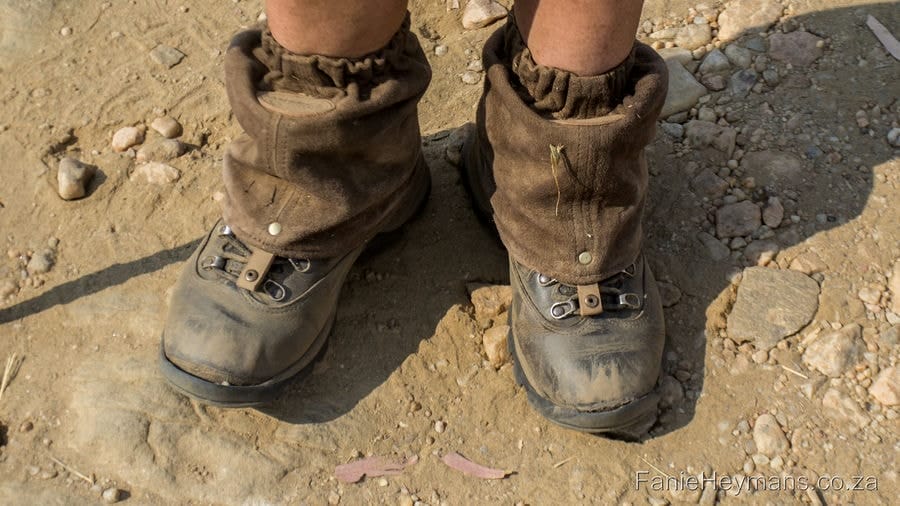
The very beautiful and large Ana Trees was something to experience on this last day of the hike. We followed the trail from Monte Christo via Otjiseva back to the starting point at Duesternbook. We finished before midday. After 110.5km, my shoes were done and dusted too. All our hosts were very friendly, helpful, and hospitable. A luxury hike to put on your bucket list. It should be more beautiful in the rainy season too.

Rating: Difficulty: 7/10
Beauty: 8/10
Luxury: 8/10
Tips for the trail:
We did the trail in August 2019. Temperatures are not as hot as in summer. Try to make a reservation in the cooler months of the year.
Reservations can be made at the Dusternbook Guest farm website.
Water is available at the overnight spots.
Fresh Products for preparing dinner is delivered at the overnight spots and included in the price.
Back packs are transported to the next overnight spot. Carry only a day pack with snacks.
Hat, sunscreen, first aid kit to be carried.
Proper boots are advisable, but remains a personal choice. (Some of our group members used trail running shoes, and got blisters)
Foot note:
The products/ food/ gear that are referred to, are things that we personally prefer to use, or helped us on our hiking expeditions, since we have started hiking. Personal preferences may vary from one hiker to the next, regarding gear, food and products used.
All information given above, is based on our personal experience, circumstances, observations and weather conditions of a certain hike.
It might differ from other hikers’ experiences, or different weather conditions and circumstances.